24 hours of LAX operations
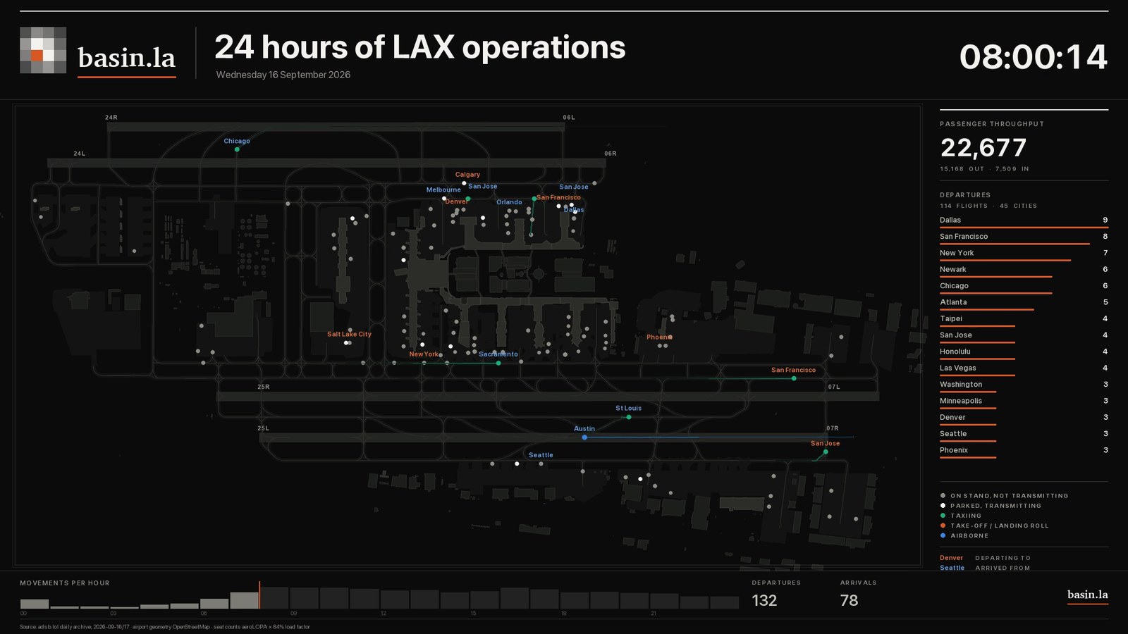
Every aircraft that moved on the ground at Los Angeles International in one ordinary Wednesday: 1,473 movements, drawn from the aircraft’s own position broadcasts.
Nine videos, drawn from Basin analysis of public data.
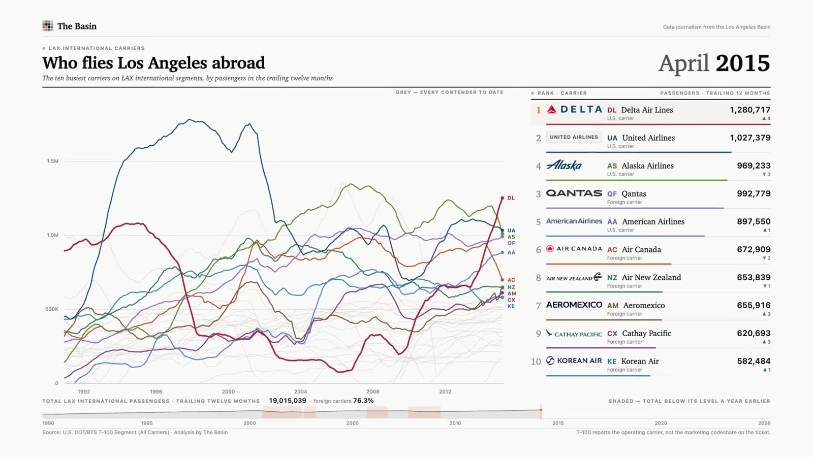
Thirty-five years of international traffic at LAX, one month at a time: monthly passenger rankings for 244 destinations, 1990 to 2026.
Every aircraft that moved on the ground at Los Angeles International in one ordinary Wednesday: 1,473 movements, drawn from the aircraft’s own position broadcasts.
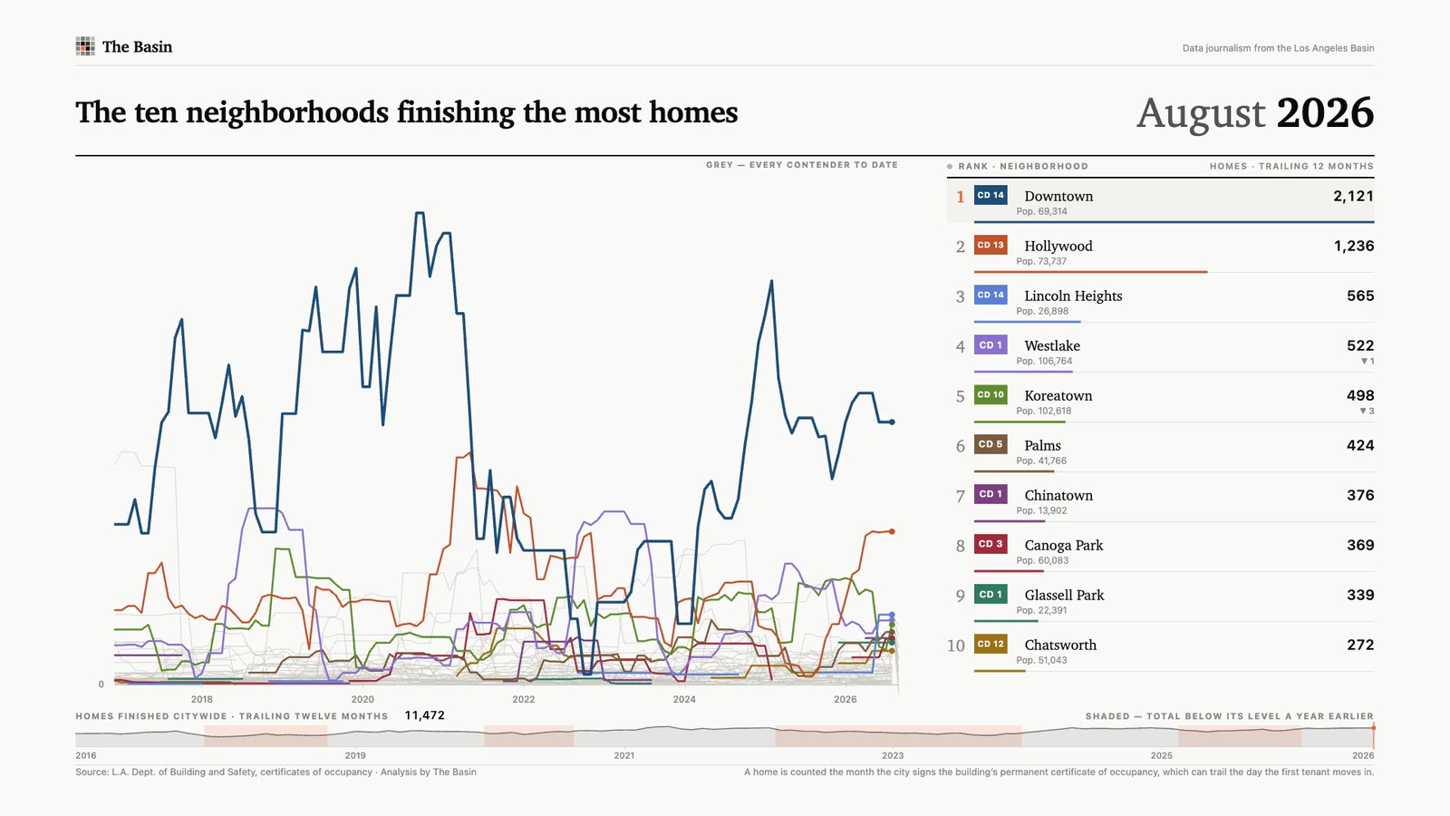
The neighborhoods finishing the most homes, month by month: a rolling twelve-month count for every part of the city, 2016 to 2026.
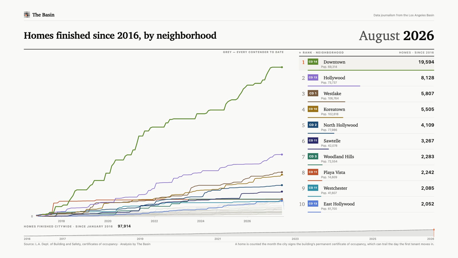
Every home the city finished since 2016, added up neighborhood by neighborhood: 97,914 in all, a fifth of them downtown.
Watch LAX’s international airlines change rank by passenger volume, month by month from 1990 to 2026.
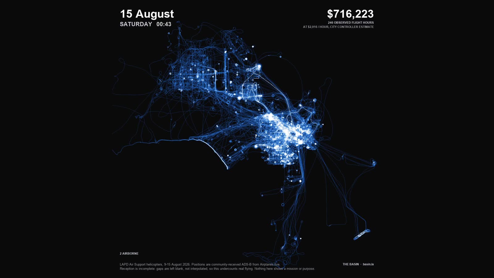
Every flight observed in community-received ADS-B data from the LAPD helicopter fleet between 9 and 15 August 2026, one day every twenty-four seconds.
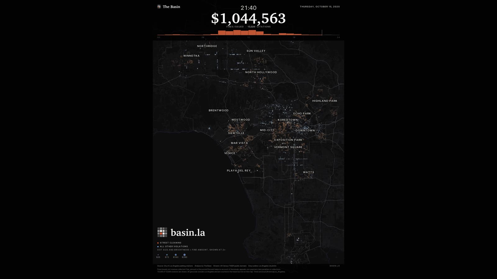
On Thursday 15 October 2020 Los Angeles parking enforcement issued more in fines than on any other day on record. We mapped it.
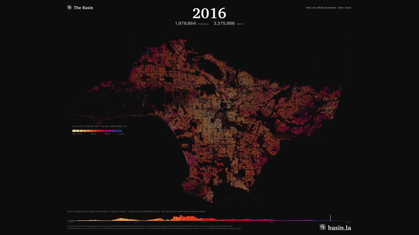
Every parcel in LA drawn in the year it was built and shaded by decade.
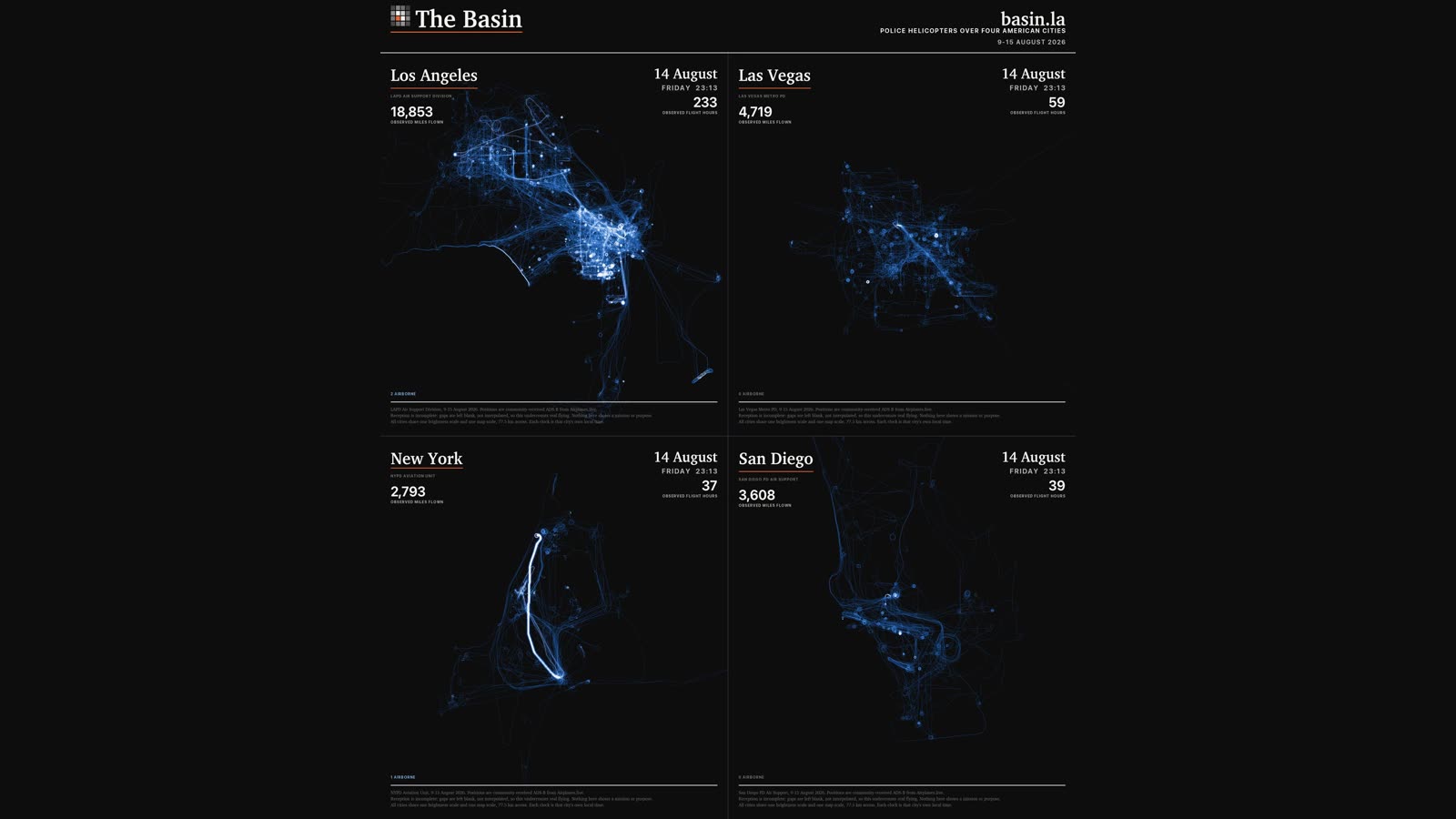
Four police helicopter fleets observed over the same week, mapped on one clock and one scale.
9 videos, all built from public records. Every dataset behind them is in Basin Data.