Maps
Explore Los Angeles elections, crime, campaign donations and police activity. Every map is built from public records.
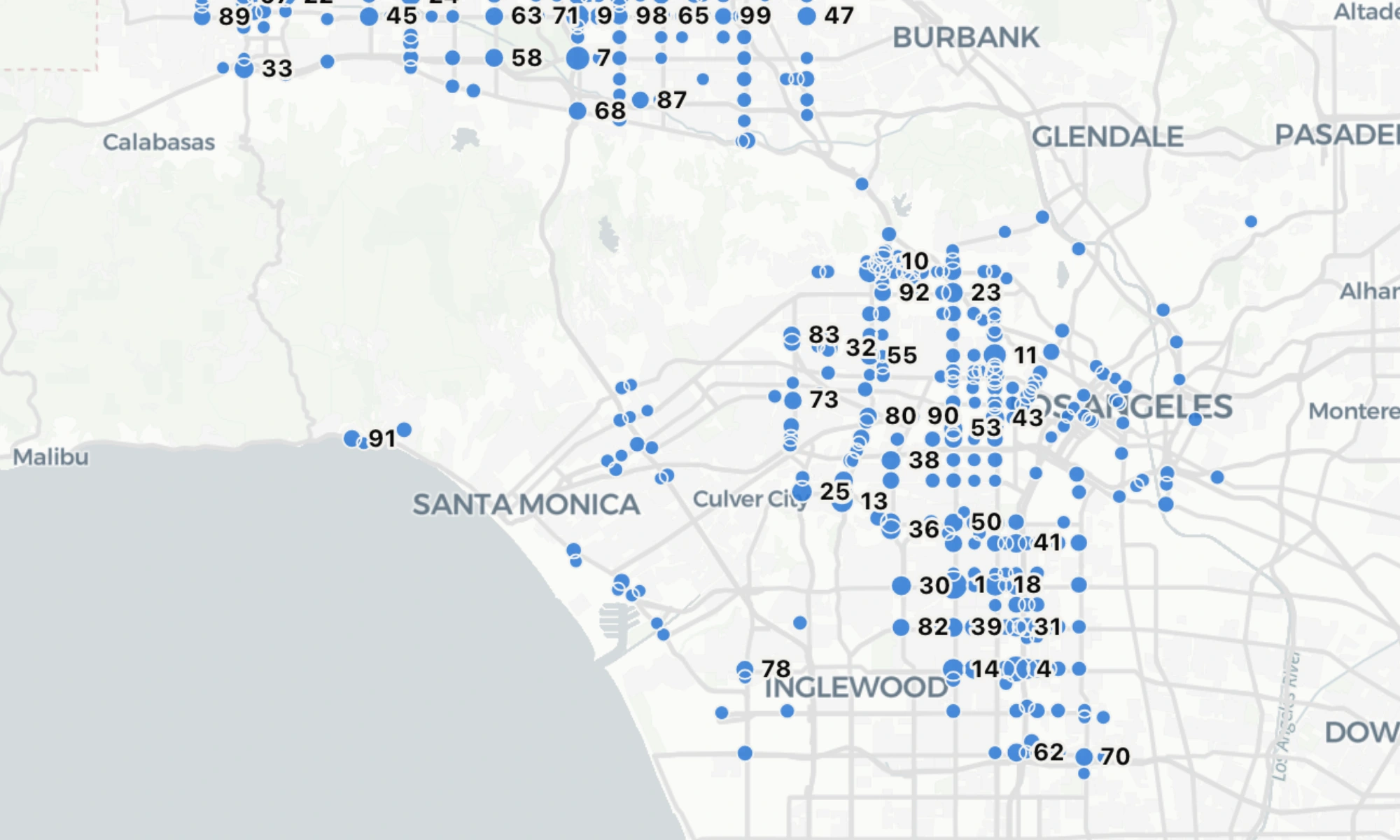
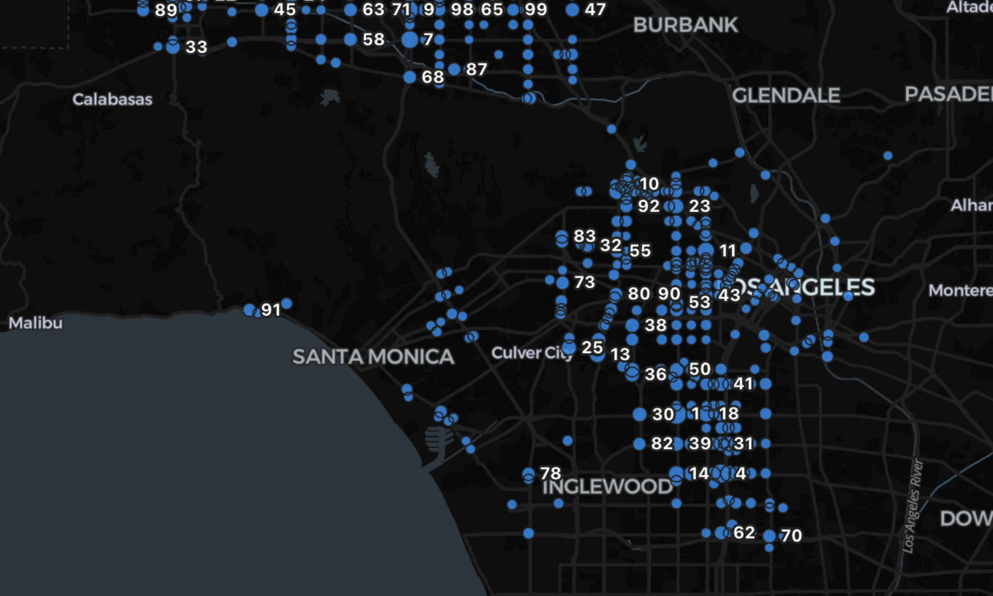
LA's Worst Intersections
Every collision LAPD recorded from 2010 to 2020, placed on the corner it happened at. Drag the slider from the worst ten corners to the worst ten thousand.
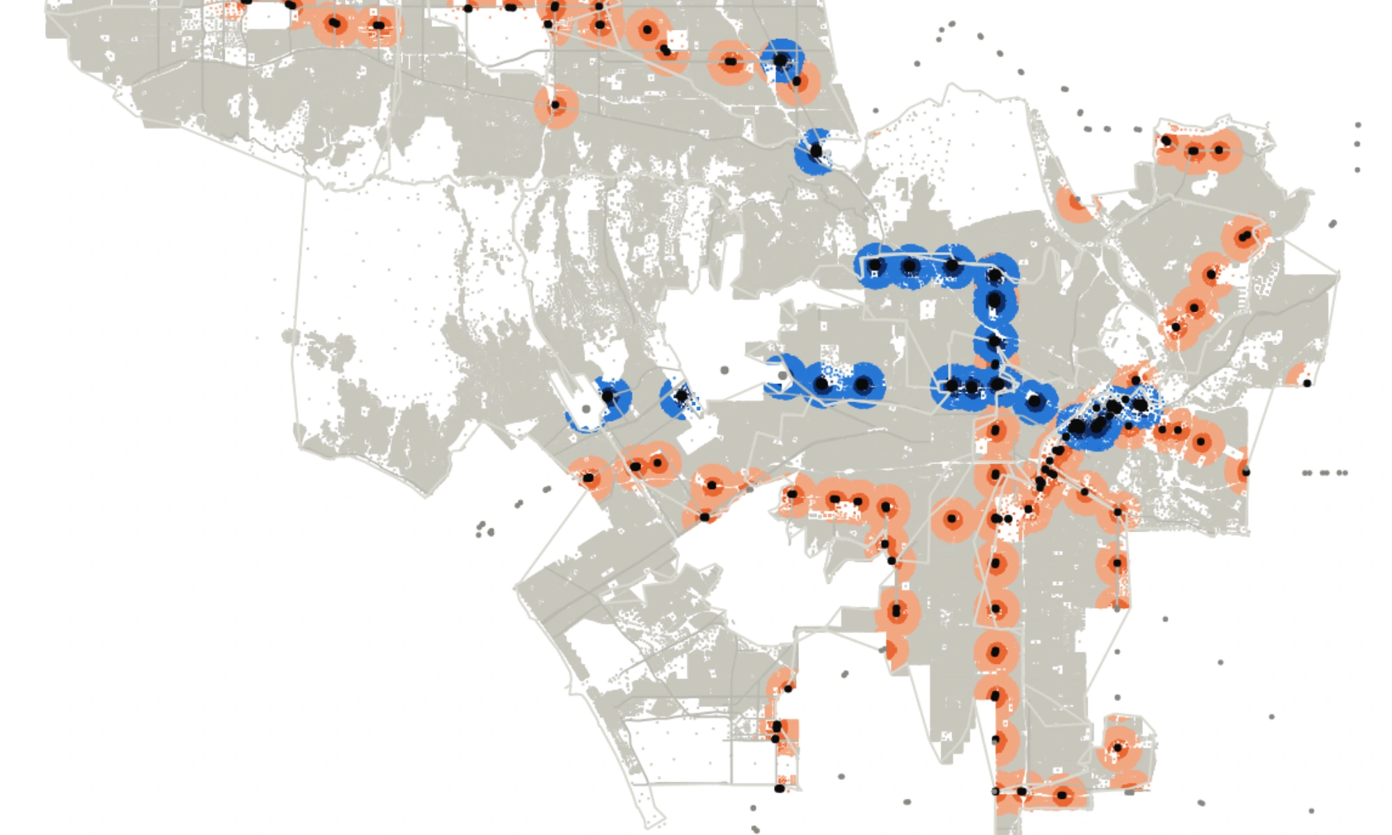
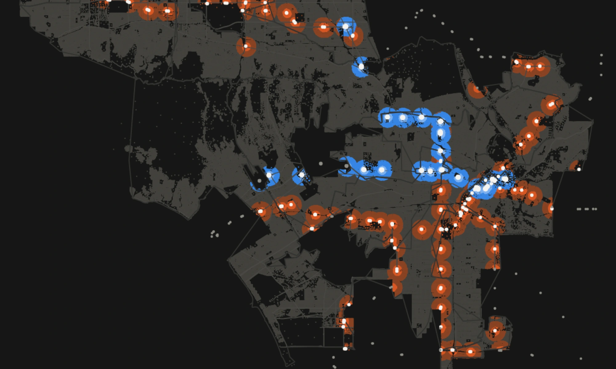
The SB 79 Map
Every parcel in the city, by whether the state's new transit upzoning law reaches it. One dot is one parcel, 803,612 of them.
The Year Built Map
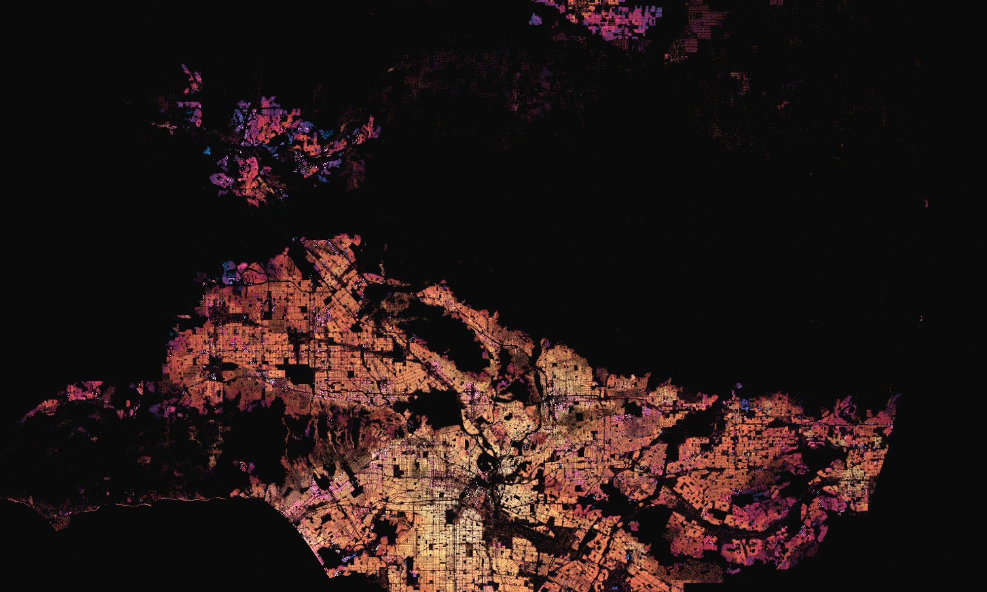
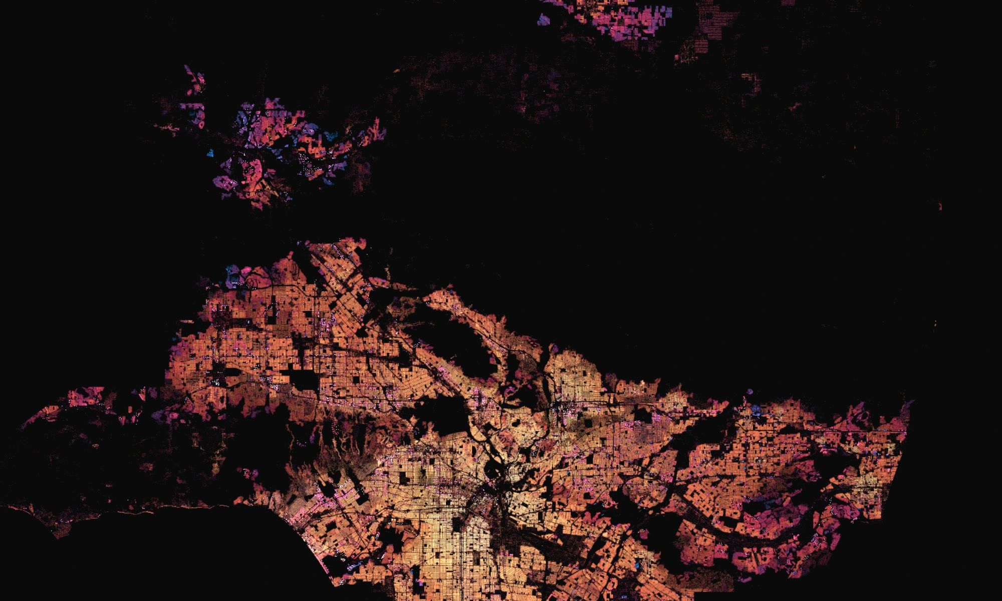
Every parcel in the county, colored by the year the building on it went up. One dot is one parcel, 2,198,708 of them.
The Election Map
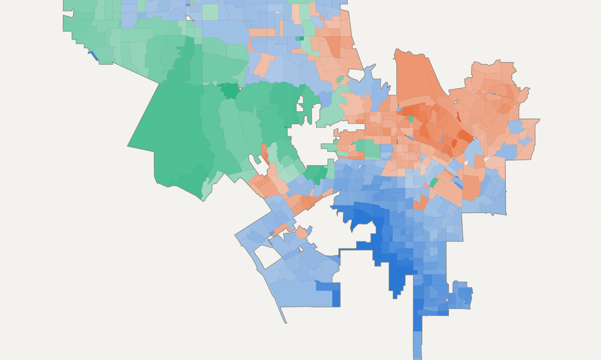
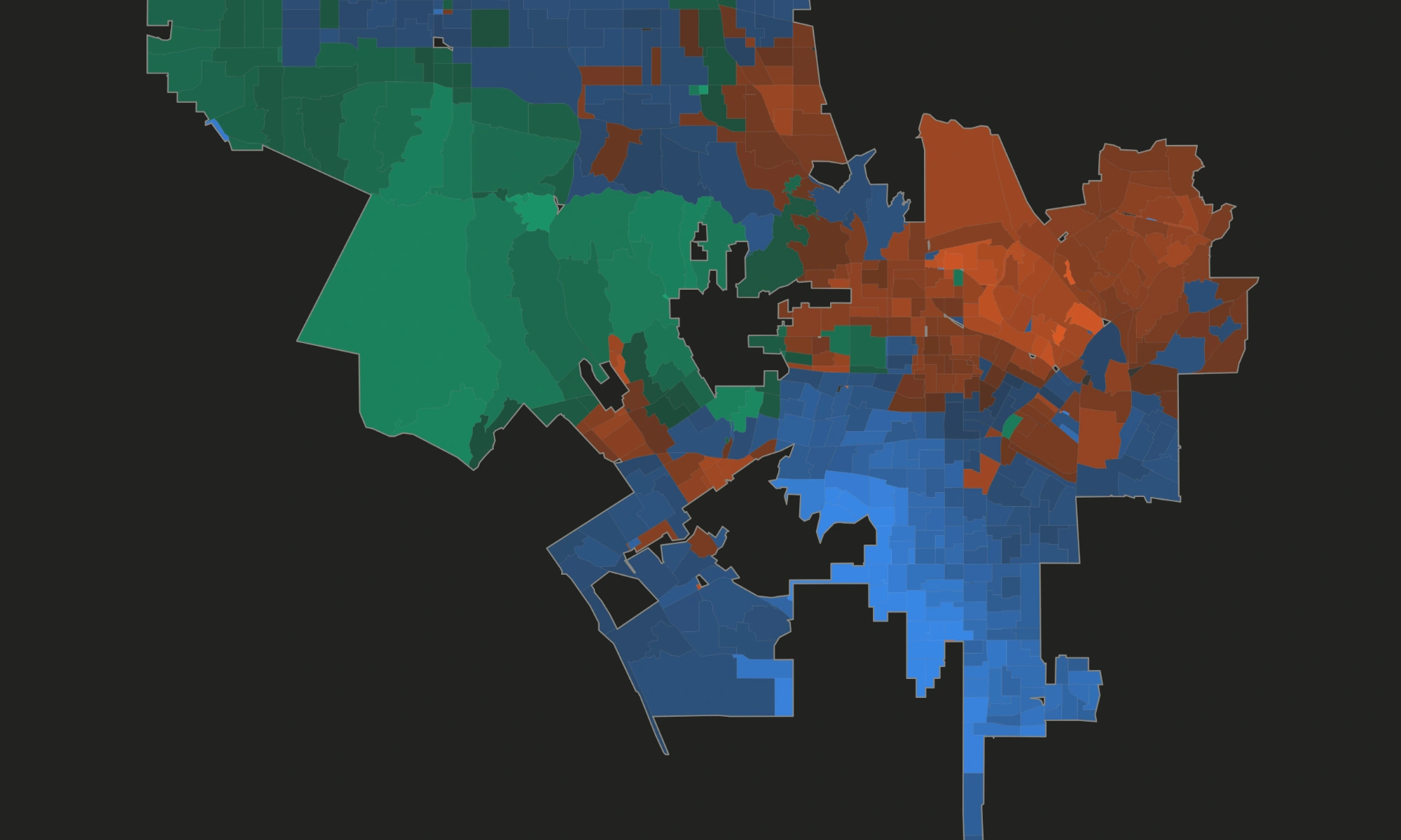
A free precinct-level map covering 97 Los Angeles contests, 2020-2026.
The Crime Map
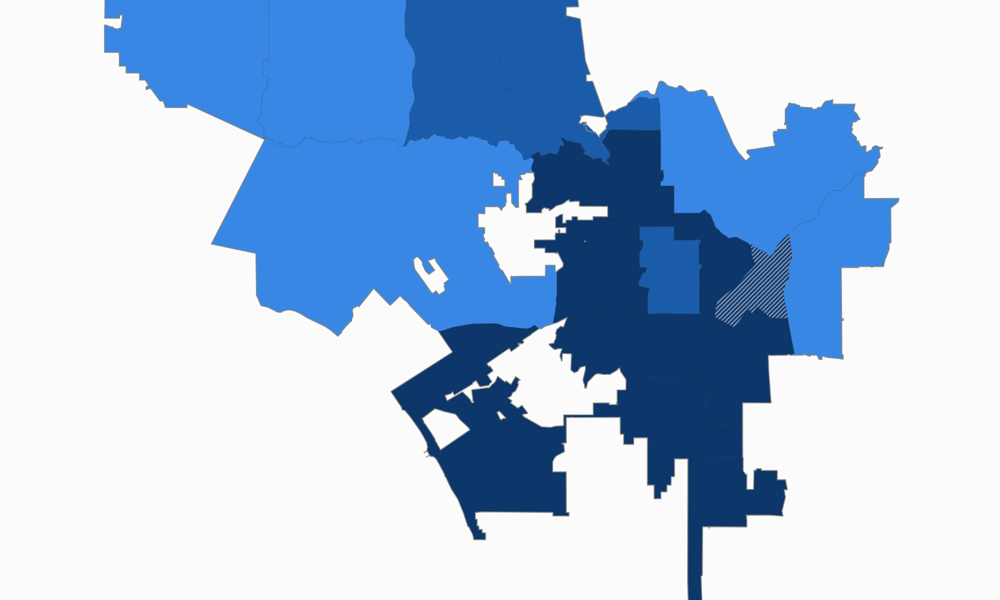
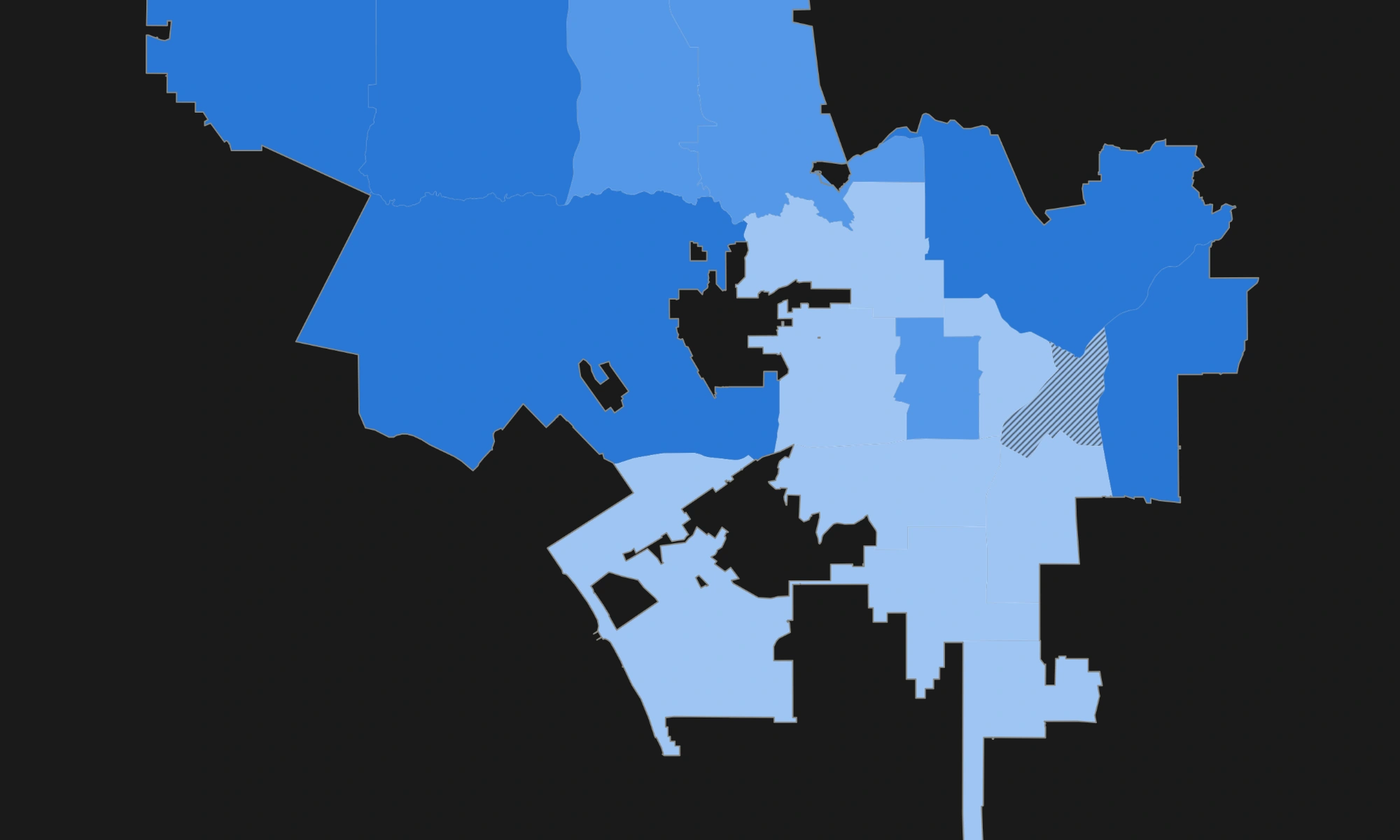
Compare recorded incidents by reporting district and year, 2010 to 2026, using consistent offense categories across LAPD's 2024-25 reporting change.
The Calls Map
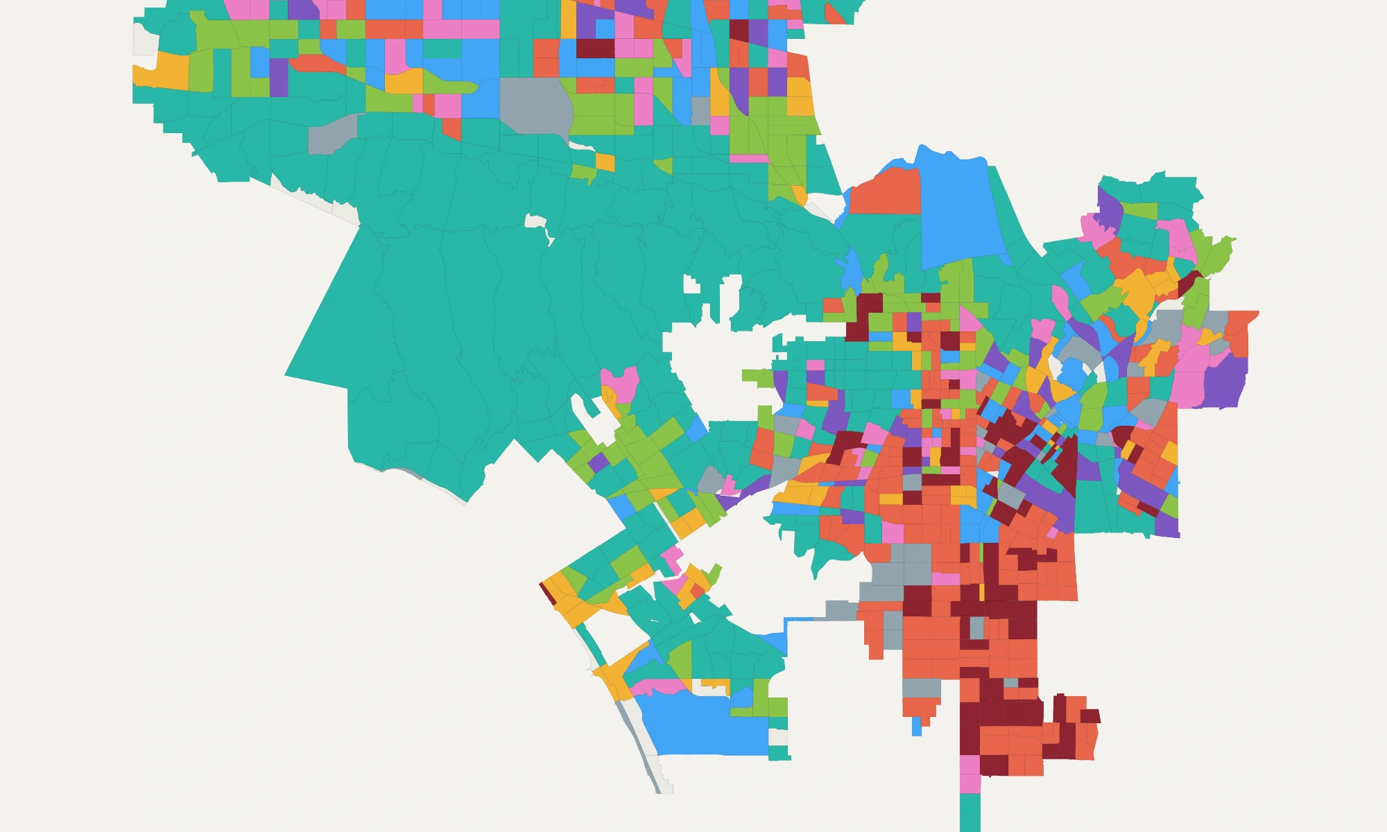
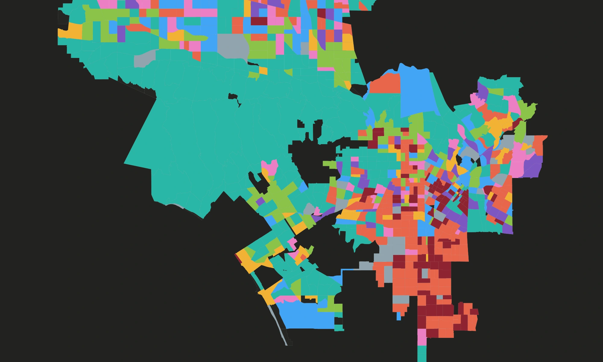
The 3,025,845 LAPD calls for service since January 2024 that carry a reporting district. Most of them are not calls from the public at all.


The Helicopter Map
A year of observed LAPD helicopter positions, drawn as accumulated time in the air. No basemap underneath: the street grid is drawn only by the flight tracks.
The Donor Map
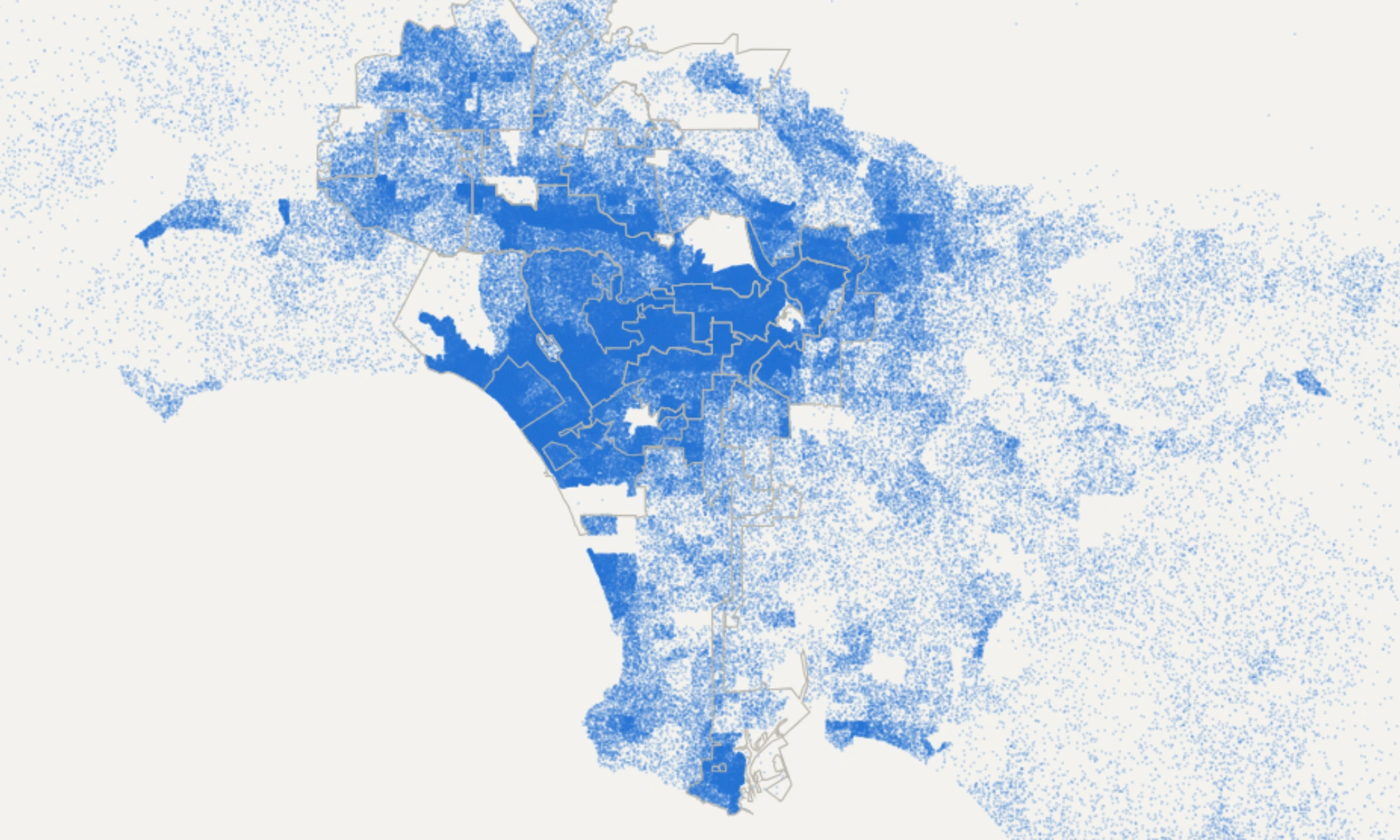
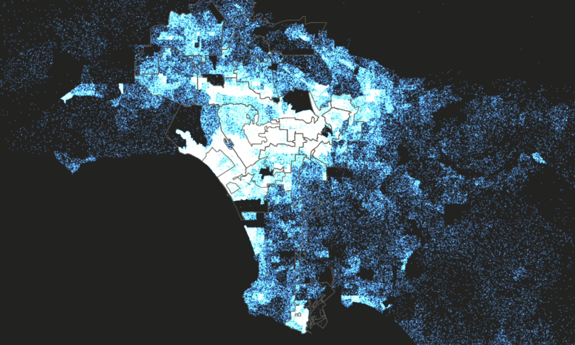
Every itemized contribution to a Los Angeles city campaign since 2000, one dot each. Filter by race and cycle, and see how little of a district's money comes from inside it.