
The county parcel roll and the state’s official map of the transit stops SB 79 recognizes together answer a question that was put twice at last night’s mayoral debate in Sherman Oaks and answered neither time.
The question came from the Sherman Oaks Homeowners Association’s own panel, and it was put well. Sue and Tom have owned their single-family home for thirty years. Their block sits within half a mile of a transit stop on Ventura Boulevard. Under a new state law a developer can now build a multi-story apartment building on the lot next door, with no public hearing and no council vote. Do you support the state having that authority?
Both candidates answered the policy question. Neither addressed whether the premise was true. It is. The qualifying stop is at Sepulveda and Ventura.
The stop is at Sepulveda, and it is a bus stop
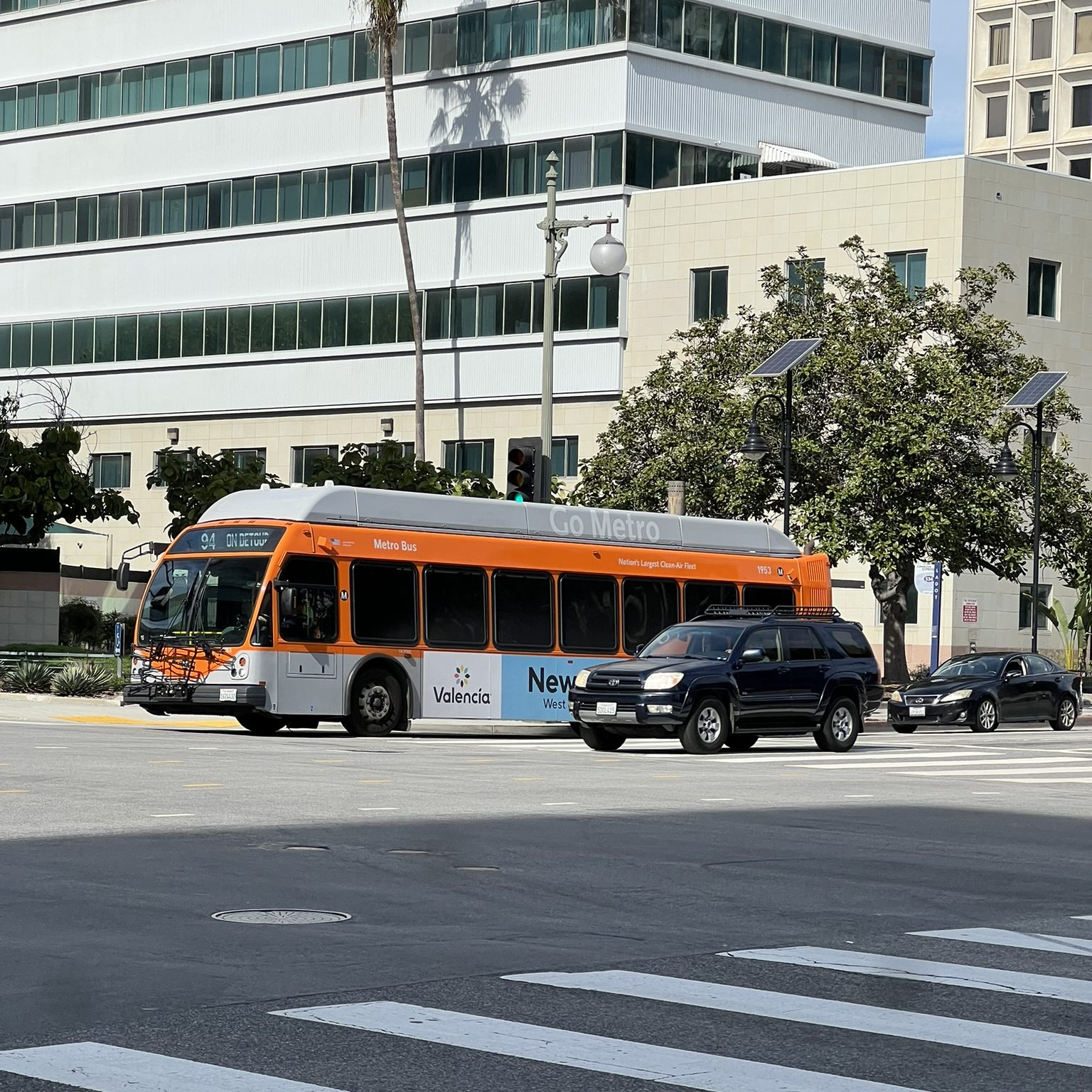
SB 79 keys everything to the kind of transit a stop carries. Tier 1 is heavy rail, the subway. Tier 2 is light rail, qualifying commuter rail, or bus service meeting the statute’s standard, which turns out to be wider than bus rapid transit: SCAG’s official map, the one the statute gives a rebuttable presumption of validity, includes 39 stops that qualify because they sit beside a full-time dedicated bus lane. SCAG identified those lane segments with the transit agencies, and it says so in its published methodology.
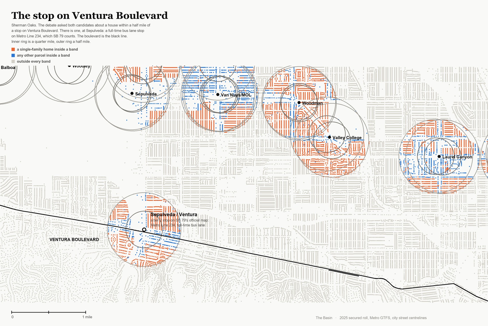
One of them is named Sepulveda / Ventura. It is a tier 2 stop on Metro Line 234, at 34.15429, -118.46602, which is the corner of Sepulveda and Ventura.
The nearest point on Ventura Boulevard to that stop is 185 feet. From the middle of the Ventura and Sepulveda intersection it is 0.211 miles, comfortably inside the quarter-mile band, where SB 79 sets the standard at 65 feet and 100 units an acre.
So the hypothetical holds. A single-family home near that corner is on land the state has upzoned, and the trigger is a bus stop with a painted lane, not a train.
Which part of Ventura Boulevard, and which part not
Ventura Boulevard runs 16.32 miles, from Woodland Hills to Studio City. We took the city’s own centerline for it, walked all 632 points from the western end, and measured each one to the nearest qualifying stop.
1.36 of those 16.32 miles are inside a band, in two stretches and nowhere else.
Ventura Boulevard crosses into a band twice in sixteen miles
Distance from every point on the city's centerline for Ventura Boulevard to the nearest stop SB 79 recognizes
Miles east along Ventura Boulevard. Vertical axis is miles to the nearest qualifying stop.
The Basin. Centerline from the city's street layer, stops from SCAG's official SB 79 map. The boulevard runs 16.32 miles; 1.36 of them sit inside a band, in the two shaded stretches. Closest approach is 185 feet, at Sepulveda.| Stretch | Nearest qualifying stop | Points inside a band |
|---|---|---|
| Studio City, east of Laurel Canyon | 0.103 mi, Universal / Studio City, heavy rail | 31 of 195 |
| Sherman Oaks | 0.035 mi, Sepulveda / Ventura, bus lane | 40 of 259 |
| Encino and Tarzana | 0.574 mi, Tampa, busway | 0 of 122 |
| Woodland Hills | 0.691 mi, Tampa, busway | 0 of 235 |
The two stretches fall under different tiers of the same law. At Sepulveda the trigger is a bus lane and the standard is tier 2: 65 feet within a quarter mile, 55 feet out to a half. At the eastern end the boulevard passes within 0.103 miles of the Universal / Studio City subway station, which is tier 1, and the standard there is 75 feet.
West of Sepulveda the premise simply fails. Through Encino, Tarzana and Woodland Hills there is no qualifying stop within half a mile of Ventura Boulevard anywhere, and for most of that run the nearest is more than a mile and a half away.
The answer to the question as asked depends on where Sue and Tom live. Near Sepulveda, or east of Laurel Canyon, the premise holds. West of Sepulveda it does not.
Sherman Oaks, counted
The neighborhood has 11,890 single-family homes, and 1,651 of them, 13.9 percent, are inside an SB 79 band. They fall in two clusters: the ones around Sepulveda and Ventura, and a larger group in the north of the neighborhood inside the G Line busway’s rings.
Every count in this piece is of land where something taller became legal, not of units that exist or have been proposed. Eligibility is keyed to zoning, which is reliable for houses and an upper bound for the commercial and industrial class.
Against its own neighbors Sherman Oaks sits in the middle, and the spread across six adjacent places is 45-fold.
Sherman Oaks sits in the middle of its own valley
Share of a neighborhood's single-family parcels inside an SB 79 band.
Council District 4, which contains Sherman Oaks and whose member was on the stage, has 3,746 of its 50,927 single-family homes inside a band, or 7.4 percent, twelfth of the fifteen districts. Council District 6, the next district north, is at 33.6 percent. Citywide the law reaches 66,790 of the 470,659 single-family homes in Los Angeles, one in seven, and it reaches hardest into the districts with the least money: the correlation between a district’s banded share and its median household income is -0.79.
Any block in the city can be looked up on the SB 79 map, which draws all 803,612 parcels over the street grid and lets you zoom to your own street.
What is coming that was not on the stage
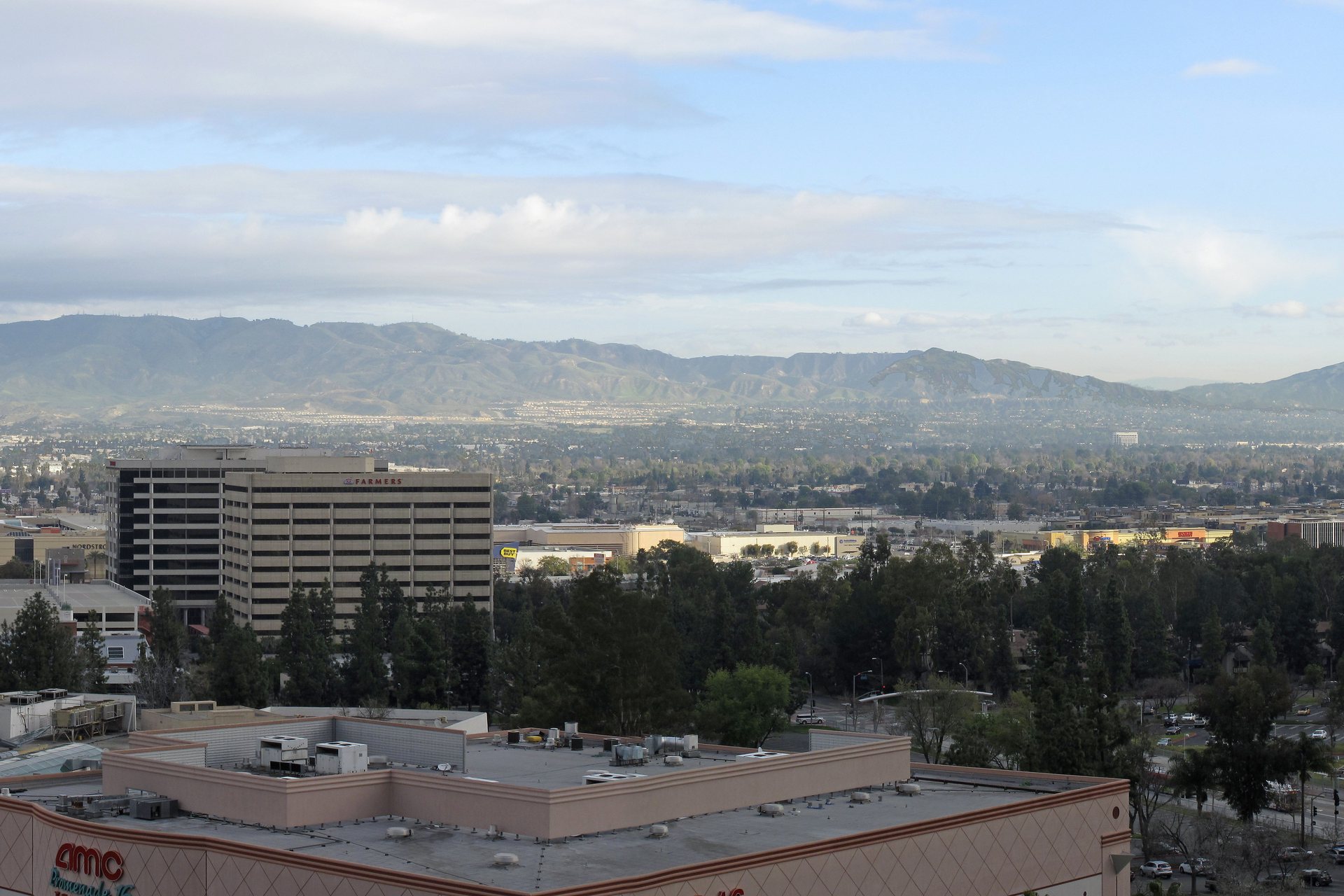

The Sepulveda Transit Corridor is not on SCAG’s map. Metro adopted the locally preferred alternative in January 2026: an underground heavy rail line from the Van Nuys Metrolink station to the E Line, with seven stations, one of them at Ventura Boulevard.
SB 79 counts a stop on a route whose preferred alternative has been selected, and the state housing department told SCAG in June that the map should include projects at that stage rather than only those with full environmental clearance. SCAG’s published methodology used the stricter test. Heavy rail is tier 1.
If that station is added to the map, the standard on the land around Ventura and Sepulveda goes from 65 feet to 75 within a quarter mile, and to 95 within 200 feet. The hypothetical put to the candidates last night would then be an understatement.
Method and limits
The stop roster is SCAG’s, not ours. An earlier draft built one from Metro’s rail and busway schedules and found no qualifying stop within two miles of Ventura Boulevard; the full-time bus lane category does not exist in a rail schedule, and it is the category that decides this question. That draft was never published.
Two limits belong on any number here. The assessor records what stands on a lot and SB 79 keys eligibility to zoning, which is reliable for houses and an upper bound for the commercial and industrial class. And upzoning is not building: every figure counts land where something taller became legal, not a unit that will exist. The full method and the data behind this piece are linked at the head of the page.